


Free Map Tool
The Free Map Tool has a ZIP Code Radius Search Map which allows you to determine what Zip Codes fall into a set range from a set point (ie. 10 mile radius of 80203 or within a specific area). These Zip Codes can then be used in a Salesforce Report to capture an audience based on where individuals live. This is often useful when hosting an in-person event and determining who to invite.
When requesting an audience based on geographic location from an eComm specialist, either:
- Specify the input to your eComm specialist (Radius and Central Zip Code, ie. 10 mile radius of 80203 or 'Front Range') OR
- Use a version of the Free Map Tool yourself and provide the Zip Codes to your eComm specialist
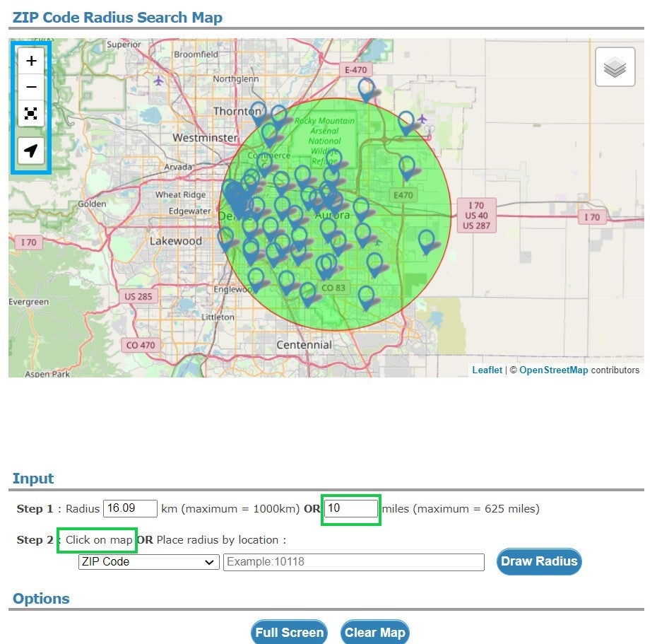
Input
Step 1: Radius
- Type the radius you wish to use in miles (or km)
Step 2: Set Central Point
- Click on map | Hover the map with your mouse and scroll to zooom or move with click and drag. Alternatively can use the navigation buttons in the top left of the map.
- Place radius by location | Use Zip Code in the dropdown and input the central Zip Code you wish to use. Select the blue Draw Radius button
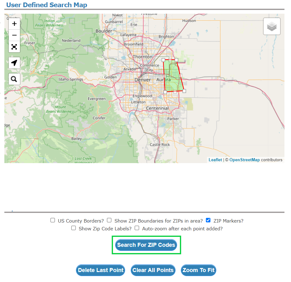
A Free Map Tool by Drawing on Map
Step 1: Position Map
Hover the map with your mouse and scroll to zooom or move with click and drag. Alternatively can use the navigation buttons in the top left of the map.
Step 2: Draw on Map
Click the perimeter points, creating the shape you wish to capture. The perimeter will automatically be created as you click, and can be any shape.
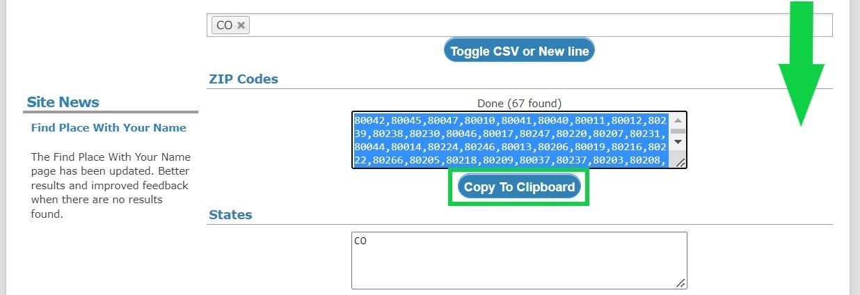
ZIP Codes
Step 3: Scroll to find the associated Zip Codes and Copy to Clipboard
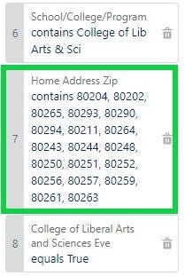
Salesforce Reports
After a group of Zip Codes is copied, an eComm specialist can use the information in a Salesforce Report to capture a specific audience.
Related Content
- GeoCode Sunetting 2023
- What is the difference between a campaign and a report?
- How are campaigns connected to reports?
- Why do campaigns have such complicated names?
- How do I modify or delete a campaign?
- How do I add contacts to a Salesforce campaign in bulk?
- Why can’t I see a certain campaign?
- How do I share a campaign with another user?
- How do I share a campaign with a public group?